The Earth’s oceans hold countless mysteries, with nearly 80% of the seafloor still unexplored. In recent years, however, powerful advancements in deep ocean mapping have opened new pathways for scientists to study underwater landscapes more accurately than ever before. At the forefront of this transformation is autonomous marine tech, enabling unmanned submarines and underwater drones to navigate extreme depths and collect high-resolution data. As countries and research institutions collaborate on large-scale ocean exploration missions, mapping deep-sea canyons is becoming a global priority for understanding climate shifts, biodiversity, mineral resources, and tectonic activity.
Why Mapping Deep Ocean Canyons Matters
Marine scientists have long emphasized the importance of deep ocean mapping, as deep-sea canyons play critical roles in global ecosystems. These massive geological structures influence marine circulation, house unique species, and store climate data within sediment layers. Better maps help researchers track ocean health, understand seismic activity, and plan marine conservation policies.
The rapid growth of autonomous marine tech has made these missions far more practical. Traditional ships and divers could only access shallow or mid-depth regions, but modern autonomous vehicles can plunge thousands of meters deep, capturing detailed images, water samples, and topographic data. This technological leap is helping scientists uncover parts of the ocean never seen before.
How Autonomous Submarines Are Transforming Ocean Research
The latest breakthroughs in deep ocean mapping are powered by AI-operated submarines, multi-beam sonar systems, and advanced underwater drones. Unlike earlier tools requiring constant human supervision, today’s autonomous vehicles can self-navigate through complex canyon terrains.
This transformation is made possible through highly sophisticated autonomous marine tech, which allows underwater vehicles to:
- Map the seafloor using multi-directional sonar
- Capture HD images and videos in low-light environments
- Analyze water composition and temperature
- Avoid underwater obstacles with AI guidance
- Send real-time data to research stations
- Conduct long-duration missions without human pilots
These features significantly improve the accuracy, scale, and speed of scientific research, making ocean mapping more accessible to nations with limited marine infrastructure.
Table: Traditional Ocean Mapping vs. Autonomous Submarine Mapping
| Feature | Traditional Mapping | Autonomous Submarine Mapping |
|---|---|---|
| Depth Reach | Limited | Extremely deep using deep ocean mapping systems |
| Human Involvement | High | Minimal due to autonomous marine tech |
| Data Accuracy | Moderate | Highly precise and multi-layered |
| Mission Duration | Short | Long, continuous expeditions |
| Cost | High maintenance | More efficient over time |
| Risk Level | High for divers | Very low for researchers |
This comparison shows how modern technology is revolutionizing ocean exploration and enabling safer, more comprehensive mapping.
Global Projects and International Collaboration
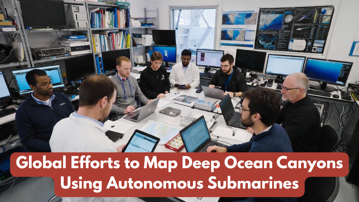
Several nations are actively contributing to large-scale deep ocean mapping projects. The Seabed 2030 initiative, supported by global scientific organizations, aims to map the entire ocean floor by 2030. Countries such as Japan, the United States, Norway, and Australia are deploying fleets of autonomous underwater vehicles (AUVs) to explore deep-sea canyons in the Pacific, Atlantic, and Arctic regions.
These international missions are strengthened by cutting-edge autonomous marine tech, which helps researchers share data, standardize mapping techniques, and enhance accuracy. Joint expeditions often focus on areas with active tectonic formations, underwater volcanoes, or biodiversity hotspots. As a result, scientists are discovering new species, underwater forests, and rare geological structures hidden beneath the ocean surface.
Ecological and Climate Research Benefits
The ongoing advancements in deep ocean mapping are playing a crucial role in climate research. Deep-sea canyons accumulate sediment layers that act as natural archives of Earth’s climate history. By studying these layers, scientists can analyze past temperature fluctuations, carbon cycles, and major environmental changes.
Additionally, autonomous marine tech enables researchers to monitor deep-sea ecosystems without disturbing habitats. Many newly discovered canyon environments contain rare species adapted to extreme pressure and low-light conditions. Understanding these ecosystems helps scientists design marine conservation strategies and protect vulnerable underwater life from threats like mining, pollution, and destructive fishing.
Economic and Industrial Applications
Beyond scientific research, deep ocean mapping supports industries such as offshore wind energy, submarine cable installation, and environmentally responsible mining. Detailed ocean maps ensure safer construction of underwater infrastructure and help governments identify protected zones.
The use of autonomous marine tech significantly reduces human risk in dangerous deep-sea regions. Robots can survey ocean floors near volcanic vents, sediment clouds, and steep canyon walls—tasks that would be impossible for divers. This blend of technology and research is creating new economic opportunities while prioritizing environmental safety.
The Future of Deep-Sea Exploration
The future of deep ocean mapping is expected to grow even more advanced with AI-driven navigation, swarms of coordinated underwater robots, and long-range autonomous gliders capable of exploring entire ocean basins. As technology improves, researchers anticipate real-time mapping, faster data transfer, and interactive digital ocean models accessible to global scientists.
The continued development of autonomous marine tech promises deeper exploration, more efficient missions, and broader global participation. Over time, these advancements will help humanity better understand ocean ecosystems and their impact on the planet’s climate and resources.
Conclusion
The rise of modern deep ocean mapping technologies marks a major turning point in ocean exploration. With the support of sophisticated autonomous marine tech, scientists are uncovering deep-sea canyons that were once considered unreachable. These innovations not only enhance scientific understanding but also support climate research, biodiversity conservation, and sustainable marine development. As nations continue to collaborate on global ocean-mapping projects, humanity is taking a significant step toward unlocking the mysteries of the world’s deepest waters.
FAQs
Why is deep ocean mapping important?
It helps scientists understand ocean ecosystems, geology, and climate patterns through deep ocean mapping missions.
How do autonomous submarines explore the ocean?
They use advanced autonomous marine tech such as sonar, AI navigation, and imaging tools to map deep regions.
Which countries are leading ocean mapping projects?
Japan, the U.S., Australia, and Norway are key contributors to global deep ocean mapping efforts.
Can robots replace human divers completely?
In extreme depths, autonomous marine tech is safer and more effective than human exploration.
What discoveries have been made recently?
Underwater forests, new species, and rare geological formations have been found using deep ocean mapping systems.
Click here to learn more